2 posts tagged with "navigation"

View All Tags

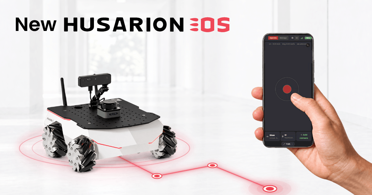
New Husarion OS release for ROSbot 3/XL

· 7 min read
Rafal Gorecki
Software Developer @ Husarion

A new Husarion OS build (2026.09.30) is rolling out now. It's the biggest update to what ships out of the box since the last release in August 2025, and ROSbot 3 and ROSbot XL owners will feel it the most:

  • Husarion Cockpit adds a web panel for driving and managing the robot: teleop with a live camera view, ROS 2 configuration, and robot state at a glance, all from a phone or laptop.
  • Nav2 built into the rosbot snap means no separate demo repo to clone, so you can go from unboxing to autonomous navigation in minutes.
  • Ubuntu 24.04 support for Jetson: the latest Tegra/L4T kernel (39.2.1) moves the Jetson Orin image to an Ubuntu 24.04 base, which brings ROS 2 Jazzy natively.
  • The latest ROSbot drivers and snaps: this build ships on top of the latest rosbot_ros driver, so ROSbot's sensors pick up their ROS 2 config on their own. Set it once on the robot, and every chained LiDAR or camera follows. See the driver release post for namespaces, Zenoh, and the firmware rewrite.
  • A handful of smaller quality-of-life fixes: easier login without remembering an IP, full sensor integration out of the box, and more.

Husarion OS release title image

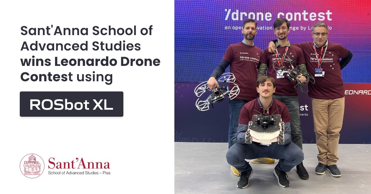
Sant'Anna School of Advanced Studies wins Leonardo Drone Contest using ROSbot XL

· 10 min read
Nina Bażela
Marketing Manager @ Husarion

Unmanned Aerial Vehicles (UAVs), also known as drones, are used nowadays in a wide variety of applications, exploring zones affected by natural disasters, surveilling, or transporting packages in urban areas. While drones provide opportunities previously unavailable, such as the ability to easily traverse rough terrain, quickly and efficiently explore unknown areas, and possess excellent communication capabilities, they also come with their own limitations. UAVs have a reduced flight time due to low battery capacity and cannot carry heavy payloads, including more powerful computers, heavy sensors, or manipulators.

These constraints can be overcome by developing cooperation between drones and Unmanned Ground Vehicles (UGVs), which offer higher payload and battery capacity. Simultaneously, UGVs can benefit from drones' greater range of sensors and higher traversability of difficult terrain. In scenarios where the drone and mobile robot cooperate to map and navigate unknown terrain, there is potential for achieving much higher efficiency in specific tasks, creating a whole new realm of possible applications.