Field-tested outdoor autonomy for Panther at ELROB 2026

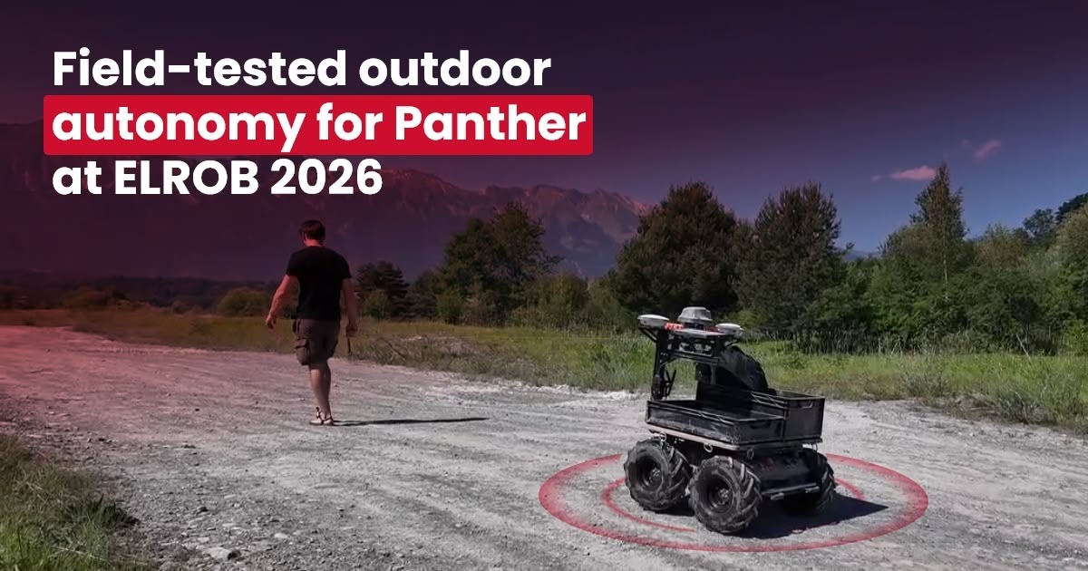
At ELROB 2026, we taught Panther a route by simply walking it on a wire - our patent-pending Follow Me system - and then let it shuttle the course autonomously, alongside leading defense and robotics teams.
In mid-June, the Husarion team took part in the European Land Robot Trial 2026 (ELROB 2026), an official field trial that gave us a strong opportunity to validate our outdoor autonomy setup in real terrain - and show how quickly it can be deployed in practice.
ELROB 2026 at a Glance
ELROB (European Land Robot Trial) is a non-profit international field trial focused on unmanned ground systems (UGVs) for real military-relevant tasks in demanding outdoor conditions. It brings together technology teams from industry, integrators, and research organizations.
ELROB 2026 featured 21 participating teams. The field included, among others: Husarion, Diehl Defence Ziesel, Rheinmetall Mission Master, L3Harris Robotics, Telerob, TNO, CAPRA, and Lukasiewicz-PIAP.
The event included multiple scenarios:
- Transport - Convoying
- Non-Urban Reconnaissance
- Transport - Mule
- Search & Rescue / CasEvac
- Reconnaissance of ERW
Husarion participated in the Transport - Mule scenario.

Mule Scenario Overview
In ELROB terms, the Transport - Mule scenario is a shuttle mission in non-urban, hilly terrain between two camps (P1 as the start point and P2 as the turnaround point, around 300 m apart). The vehicle first learns the route by following a human guide (teach-in), then autonomously shuttles between P1 (start point) and P2 (turnaround point) while handling dynamic and static obstacles, narrow passages, blocked sections, and possible GNSS-denied areas.
In our run, we focused on the teach-in and autonomous replay workflow with repeated autonomous route execution.
Official references:
On-Site Timeline
Day 1: Live Demo and Industry Meetings
The first day (2026-06-15) focused on system and scenario presentations for invited guests. Our booth was visited by Swiss and European defense representatives, technology companies, and public institutions working with unmanned systems.

At the booth, we presented Panther equipped with the Husarion Outdoor Navigation Package (HONP) together with our wire-based Follow Me guidance system (patent pending), which attracted a lot of attention. The system uses a wire-based interface with two encoders measuring distance and angle to the operator. The endpoint can be attached to the operator's gear or held in hand. Panther continuously estimates the endpoint position and follows it, allowing the operator to quickly teach a real drivable route for autonomous replay. Compared with camera- and LiDAR-based teach-in, this approach is more robust in dust, at night, and in changing light.

Day 2: Final Setup for the Mule Scenario
On the next day, we reconfigured the system for a new test area and performed a full pre-run deployment pass. This included tuning HONP to local terrain, preparing satellite map layers in the WebUI, validating correction quality, and bringing the platform online over mobile internet. Before the official attempt, we ran short verification loops to confirm stable localization, repeatable follow behavior, and safe stopping margins. The deployment checklist used that day is summarized later in this article.

Day 3: Official Mule Run
On Day 3, we executed the official Mule scenario after completing on-site deployment and verification.

Mule Scenario Results
The run confirmed robust behavior in mixed terrain and gave us high-value data for further tuning. In line with the official Mule format, we concentrated on the teach-in phase and autonomous shuttle replay between P1 (start point) and P2 (turnaround point).
We completed one full shuttle cycle with one terrain-related safety intervention on a steep uneven section. A second cycle was interrupted by a barricaded gate. Advanced dynamic re-planning around such blockades was outside the scope of this test. The map below shows the trajectory completed by the robot.

HONP: Ready Navigation Package for Panther
Integrated Solutions are integrated hardware + software bundles prepared as ready-to-deploy packages. You can treat each solution as a black box for a specific use case, while the Husarion team handles integration, calibration, and testing.
For the ELROB scenario, we used the Husarion Outdoor Navigation Package (HONP, product code: NAV01P) designed for Panther.
Sensor and Compute Stack
It is a compact front-mounted mechanical assembly that combines:
- dual-antenna RTK GNSS,
- 360-degree 3D LiDAR,
- a depth camera,
- a wire-based Follow Me guidance module.
On top of this hardware stack, Husarion uses a multi-sensor fusion algorithm to combine GNSS, LiDAR, and camera data for robust localization and navigation.

Thanks to this setup, the robot keeps continuous positioning from open-sky RTK areas to GNSS-denied zones without any manual mode switching. The robot and sensor assembly are weather-resistant, enabling operation in wet and muddy conditions.

HONP Capabilities
- Dual GNSS antennas for true heading. Using two NovAtel VEXXIS GNSS-850 antennas gives direct geometric heading, available right after startup and resistant to magnetic disturbances.
- Compact mechanics with preserved payload space. The package is mounted in the front, so space above the user compartment stays available for application equipment.
- Robot-hosted WebUI. Mission and route planning is done in a browser via the robot IP, with no cloud dependency, no external account, and no vendor lock-in.
- Three autonomy modes. Navigate to Pose, Navigate Through Waypoints, and Navigate Through Poses (including paths drawn on a map or recorded during manual driving).
- Built-in safety. Automatic stop on obstacle detection and software E-stop available directly from the UI.
Field Deployment Prerequisites
For a setup similar to this field test, these were the key prerequisites verified during on-site deployment:
- mobile internet connectivity (for correction service access),
- satellite map source (for mission planning context),
- NTRIP correction configuration for RTK GNSS.
In open terrain, NTRIP-based corrections are strongly recommended to achieve centimeter-level GNSS positioning under suitable RTK conditions.
Key Takeaways
ELROB confirmed that a ready navigation package combined with fast route teaching works well in dynamic terrain. In practice, our field tests showed repeatable performance in real conditions and validated fast deployment with patent-pending Follow Me as part of Husarion's outdoor autonomy stack.
At this stage, HONP is optimized for repeatable outdoor missions on structured or semi-structured terrain, including gravel roads, service roads, industrial sites, campuses, farms, test ranges, and logistics paths. For highly unstructured off-road missions with blocked routes and complex dynamic replanning, Husarion recommends a use-case review before deployment.
Request a quote and we'll handle integration, calibration, and testing - so you go from installation to first autonomous mission fast.